Palo Alto Horizontal Levee Pilot Project

Located on the shore of Harbor Marsh in the Palo Alto Baylands, the Palo Alto Horizontal Levee Pilot Project is the first horizontal levee to be built in the San Francisco Bay that beneficially reuses treated wastewater for irrigation. Construction began in September 2025; progress updates can be found on the capital project page.
What is a horizontal levee?
A horizontal levee is a nature-based solution that provides many benefits over traditional levees. Their unique designs have a wide gentle slope which helps a marsh adapt as sea level rises. This one will also use treated wastewater to restore a native habitat on its slope. The process will further filter pollutants out of the treated wastewater.
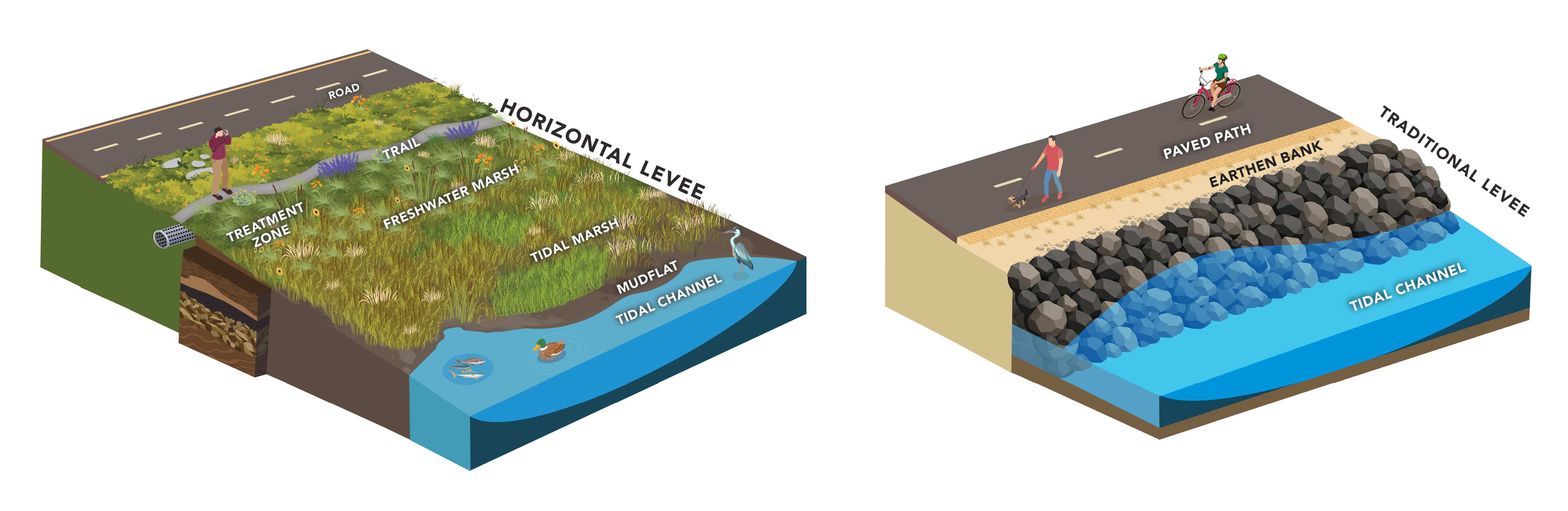
Horizontal levees, sometimes called “living levees”, are gradual slopes built with earth. Landscaped with native plants, they create and support healthier coastal ecosystems. Traditional levees and seawalls are usually steep slopes and built with earth, rocks, steel, or concrete. They offer little or no habitat and can harm local ecosystems.
Project Goals
The horizontal levee will use treated wastewater to replace the freshwater that used to come from local creeks but has since been cut off due to flood control channelization and urban development. The treated wastewater will provide underground irrigation to support the diverse habitats that will be restored on the horizontal levee. Project goals include:
- Improving habitats
- Adapting to sea level rise
- Maintaining a low-impact trail for recreational access
- Providing polishing treatment to treated wastewater
- Maintain an area to integrate a future flood control levee with the horizontal levee, if needed
Habitats at the Horizontal Levee
Freshwater in the Baylands creates transitional habitat between upland and tidal marsh ecosystems. These areas were historically used by many marsh species for foraging, nesting, and refuge from high tides. The Palo Alto Horizontal Levee Pilot Project will connect habitats and increase biodiversity by restoring freshwater marsh, wet meadow, and riparian scrub habitats. These changes support key species such as the endangered Ridgway's rail and salt marsh harvest mouse that are known to use the surrounding marsh.
Studying the Levee
The City and our project partner, the San Francisco Estuary Partnership, will gain valuable information from this project to inform the design and construction of more horizontal levees throughout Palo Alto and the Bay Area to protect against rising sea levels. Together we are working with multiple agencies and institutions to evaluate the project’s success. These include California State University, University of California, United States Geological Survey, and local non-profit organizations. We are conducting vegetation surveys to learn about restoration and establishment of native species. We are studying how soil builds up on the levee slope over time to understand how the levee may grow as sea levels rise. And we are studying ecosystem complexity as well as habitat suitability for key species like the endangered salt marsh harvest mouse.
Help Us Monitor Progress!
You can also help study the levee. More opportunities will be posted as the project is underway.
Photo Monitoring
Help monitor restoration progress the next time you visit. You can snap a quick picture at the photo monitoring stations that are located next to the Levee on the Baylands Trail. Then send your photo(s) to upload@chronolog.io
BioBlitzes
A bioblitz is when a group of people come together to document and photograph as many different plants, animals, and fungi as they can find. Bioblitzes provide us with information on the biodiversity of a specific place at a specific time. When these events are carried out with repetition over the years, we can track changes in biodiversity. One of our goals is to enhance the habitat in Harbor Marsh by increasing biodiversity of native species. We will compare the data from the pre- and post-construction bioblitzes to determine if we are meeting this goal.
We held several pre-construction bioblitzes, and you can explore the different species identified below.
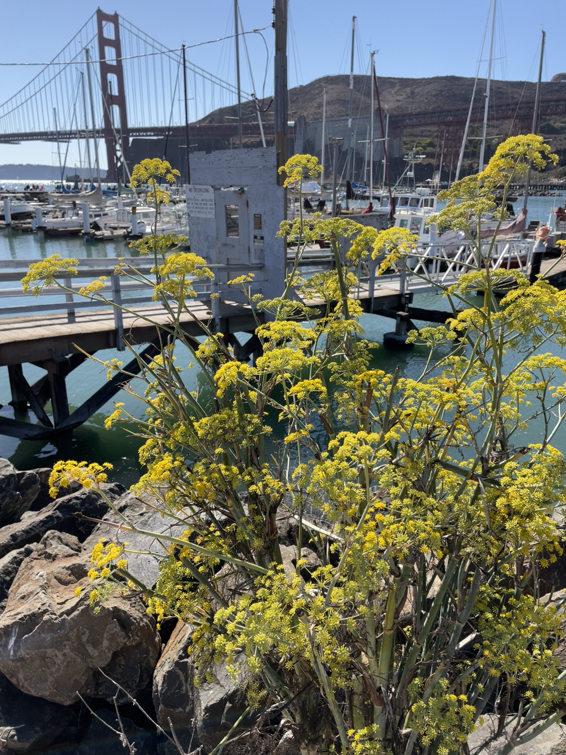
Plants - 144
Most Common Species: Fennel
27% of species observed are invasive!
Photo by: Mahimahirider
Invertebrates - 107
Most Common Species: Anise Swallowtail
Photo by: Lizgardena

Birds - 63
Most Common Species: Northern Shoveler
1 sighting of an endangered species! Ridgeway's Rail
Photo by: Julie Ibarra

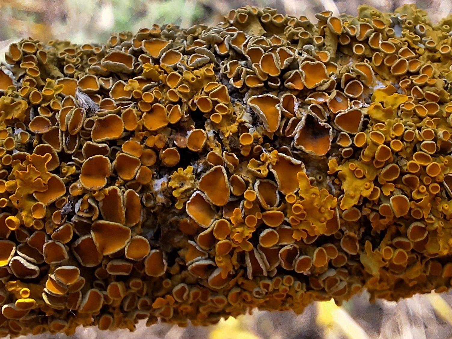
Fungi - 17 Species
Most Common Species: Common Sunburst Linchen
Photo by: Tomasz Wilk
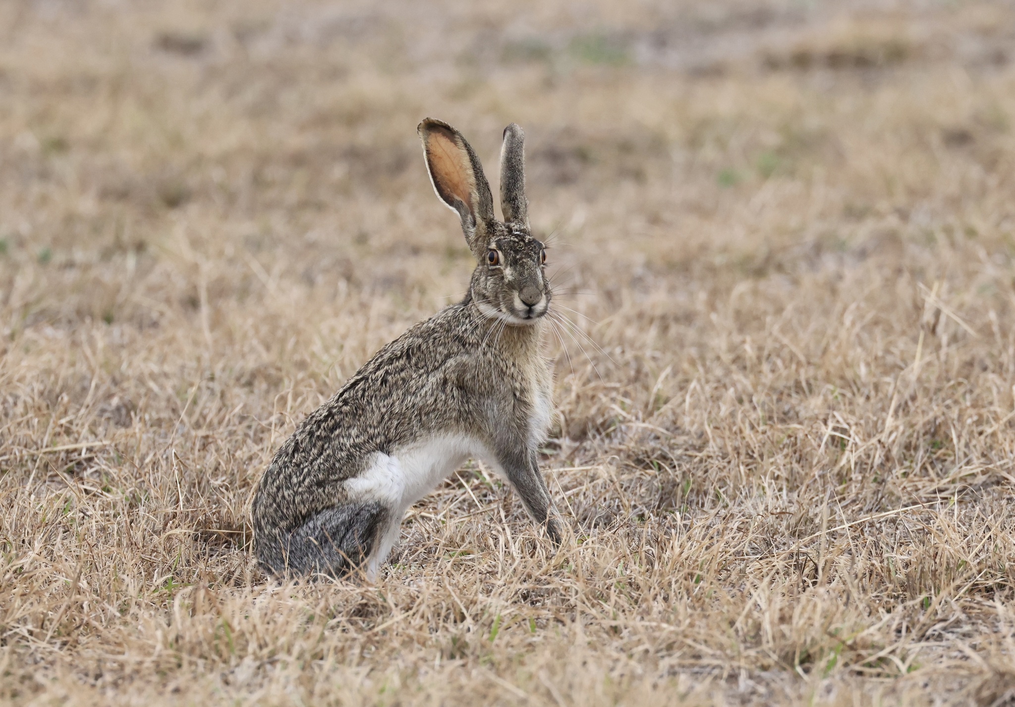
Mammals - 8
Most Common Species: Black-tailed Jackrabbit
Photo by: Rick Nirschl
Reptiles - 3
Most Common Species: Western Fence Lizard
Photo by: Noah Brinkman

Additional Resources
Project Partners and Funders
Made possible by grants from the California Department of Water Resources, the Environmental Protection Agency, and the California State Coastal Conservancy.
The City of Palo Alto has partnered with the following agencies to bring the Palo Alto Horizontal Levee Pilot Project to the Palo Alto Baylands:
Contact the City's Project Manager for more information at Samantha.Engelage@paloalto.gov